Our map uses layers of interests that you can search to find what you want. Go for guidance on getting the best from our map.
Places of interest on our map might be identified by a pin, a shade or a line.
The map is first set to have all layers on which means there will be a lot of content with all interests and topics displayed.
If you want to create your own map according to the interests/topics you want to display on the map, simply choose select layers. This will take you to a searchable list where you can select the layers you wish to appear on the map.
After you have selected your layers, choose view map and the map will be adjusted to contain those places of interest as pins, shaded areas and lines on the map.
Should you want, at any time to search the places that are mapped, just select search map. This will take you to a list of everything contained on the map. Search through the full list or enter into the open text box, the name of the place you are looking for. Once you have made your selection, a brief description will appear in a pop up box. Here you can select feature and it will take you to more information.
The filter current map view allows you to view those places on the view of the map you have on your screen.
Now enjoy our map.
Could we suggest that you join the walkway at the Harborne end (south), the start of the walk located in Forest Drive, B17 9HW.
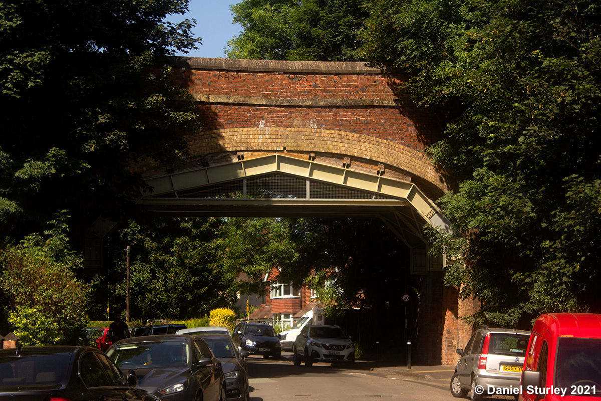
An alternative start point is on Park Hill Road near the bridge, up a steep unmade track to the north end of the bridge.

Park Hill Road Bridge
Photography by Daniel Sturley.
The entrance from the far corner of Forest Drive takes you up a path to the south side of the bridge where you can walk across and see wonderful views before starting on the walkway itself.

Photography by Daniel Sturley.
Weekin Works
Near to the Park Hill Road entrance is the Weekin built in 1851 alongside the banks of the Chad Brook, and next to the Harborne Railway Line. It was originally a brickworks.
%20(2).jpg)
Photography by Elliott Brown.
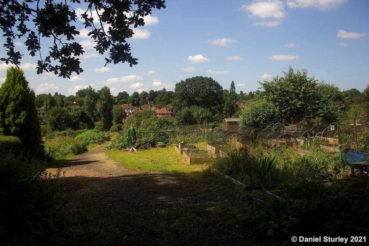
Westfield Road Allotments
Flanked by the Nature Reserve is the Westfield Road Allotments.
Photography by Daniel Sturley.
Harborne Nature Reserve
Next and off to your left is the start of Harborne's very own Nature Reserve.

The rail line at this point runs along a raised embankment with steed drops either side.

Chad Brook
Running along the walkway and visible at various places is Chad Brook.

Photography by Daniel Sturley.
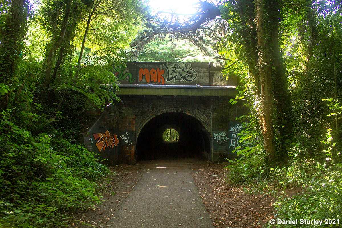
Tunnel under Hagley Road Station
Next on the walkway is the old Harborne branch railway line track. This line opened in 1874. It closed to passengers in 1934 and for goods by 1963.
Photography by Daniel Sturley.
The site of the old Hagley Road Station.

Photography by Daniel Sturley.
Now on to another of the tunnels to be found on the walkway.
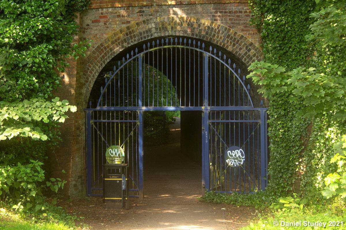
Portland Road Tunnel
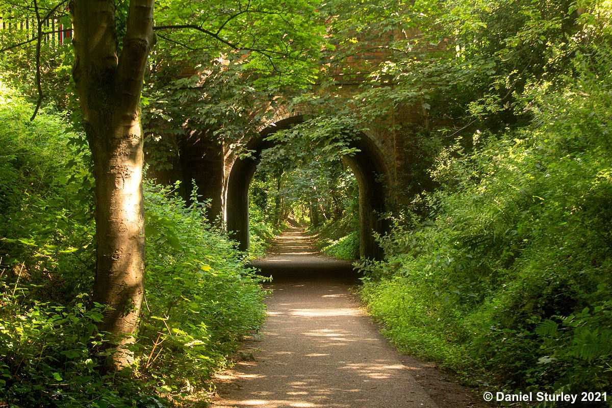
Photography by Daniel Sturley
On to the final tunnel at the northern end of the walkway.
Selwyn Road Tunnel
Photography by Daniel Sturley.
And what a lovely way to finish the walk at Summerfield Park.
Summerfield Park
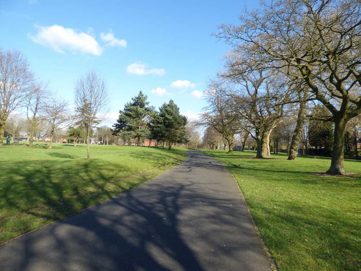
Photography by Elliott Brown.
Th old rail line runs along the south edge of Summerfield Park and near to the Icknield Port Road entrance is the site of the Icknield Port Station

Photography by Daniel Sturley.
The north-east corner of Summerfield Park is on the Dudley Road which goes straight to the ring road.
Take our feature here for more about Summerfield Park.
There is much to enjoy at this end of the walkway with Edgbaston Reservoir and Perrott's Folly all close by.
See our feature on Edgbaston Reservoir here.
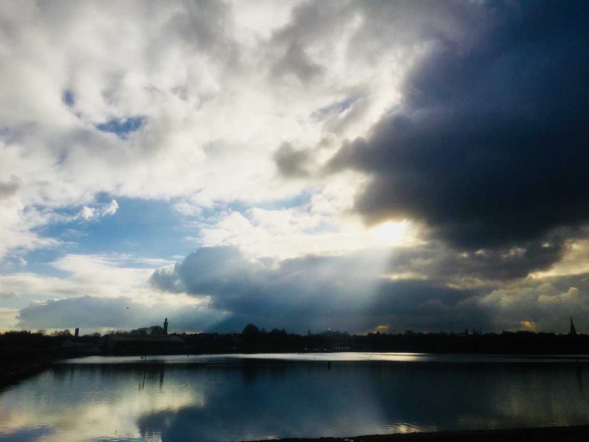
Photography by Peter Leadbetter.
See our feature on Perrott's Folly here.
.JPG)
Photography by Elliott Brown.
We hope you've enjoyed this trail.